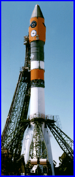

SPIN-2 now offers 2 meter resolution panchromatic satellite imagery of the earth's surface. Available as library or new imagery, it is a cost effective alternative to conventional cadastral photography. Both panchromatic 2 meter imagery and topographic products are available. Aerial Images provides a unique solution to your remote sensing requirements.
Space Information - 2 Meter (SPIN-2) Project Information:
The SPIN-2 Story
2 Meter Panchromatic Products
GIS Products
Image Library
Camera Systems
Sample Imagery
Sample GIS Layers.
Information Request Form
Spin-2 Users License (MS-Word)
Spin-2 Users License (Text)
Pricing Information
Featured Imagery
Copyright © 2026 Spin-2.com All Rights Reserved